
Drone services · Dallas-Fort Worth
Aerial photography and film in Fort Worth.
Drone photography, cinematic aerial video and 360 capture for Fort Worth homes, ranches, celebrations and builds, commanded by FAA Part 107 certified remote pilot Landon Hoemke.
Fort Worth wears its history openly: brick streets in the Stockyards, the museums of the Cultural District, the river bends of the Trinity Trails and, a short drive west, open ranch land in Parker County. Aerial images here tend to be about scale and setting, and Stoop 360 plans each Fort Worth flight to show both.
Fort Worth from above
Acreage, ranches and lake homes. West and north of the city, from Aledo to Eagle Mountain Lake and around Benbrook Lake, a property's value often lies in its acreage, fencing, water and access. Ground photos can't show where the land ends. An aerial set can, and a 360 drone tour lets out-of-town buyers look around before they ever visit.
Historic districts and city neighborhoods. In Fairmount, Arlington Heights, Tanglewood and along Camp Bowie Boulevard, aerials show the tree-lined streets, the nearby parks and the short trip to Sundance Square or the Cultural District.
Builds that change the map. The Alliance corridor on the far north side and the riverfront work around Panther Island keep reshaping the city. Repeatable construction progress flights give builders and owners a consistent record from the same points, visit after visit.
Events with Western character. Rodeo-season gatherings, Stockyards celebrations and barn weddings out in the county call for aerial coverage that captures the crowd and the landscape without intruding on either.
Drone services in Fort Worth
-
Real Estate
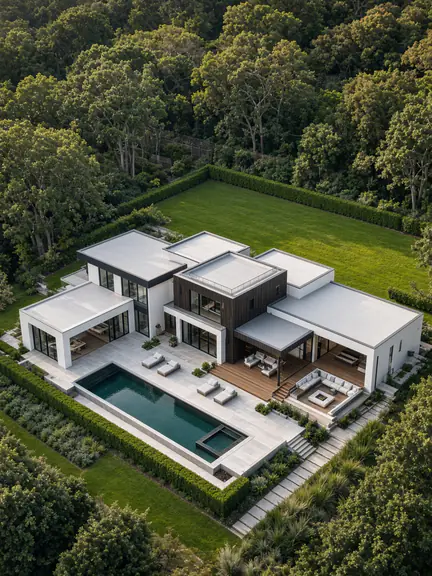
Aerial stills and films for Fort Worth homes, ranches and lake properties, showing the acreage, fence lines, water and access that ground photos miss.
See the service: Real EstateRead the guide: Real Estate Drone Photography and Video
-
Weddings
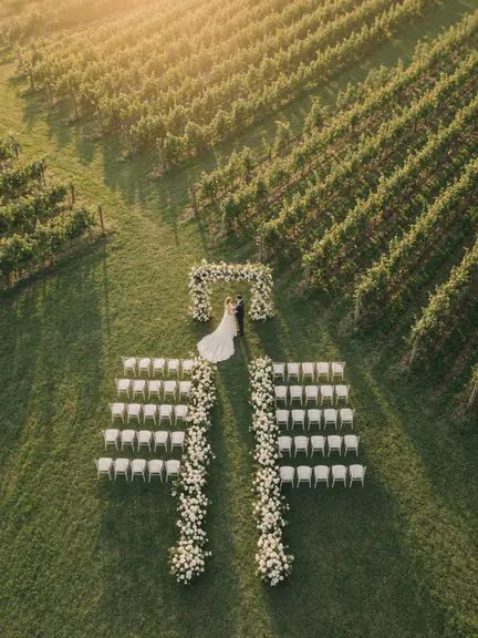
Aerial coverage for Fort Worth weddings, from historic venues near downtown to barn and ranch settings out in the county.
See the service: WeddingsRead the guide: Wedding Drone Videography
-
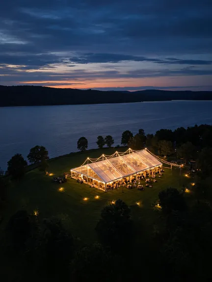
Events
Stockyards celebrations, corporate gatherings and community events filmed from above, with the flight planned around the crowd.
See the service: EventsRead the guide: Event Drone Videography
-
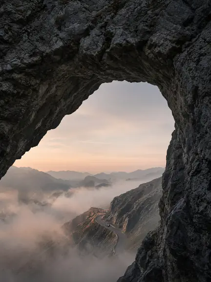
Custom Aerial
Construction progress on the north side and along the river, brand films and landscape work across Tarrant and Parker counties.
See the service: Custom AerialRead the guide: Custom Aerial Commissions
-

360 Shots
Spherical 360 panoramas that show how a property sits on its land, ideal for acreage and for buyers relocating to Fort Worth.
See the service: 360 ShotsRead the guide: 360 Drone Photography and Tours
Airspace around Fort Worth
Fort Worth has more towered airports than most cities its size. Fort Worth Meacham sits just north of downtown, Fort Worth Alliance anchors the far north, Fort Worth Spinks covers the south, and Naval Air Station Fort Worth Joint Reserve Base lies on the west side near Lake Worth. The city's eastern edge, closest to DFW International, falls under its Class B airspace. Flying inside any of these areas requires FAA authorization, which we usually request through LAANC for the exact address, altitude and time, or through the FAA's DroneZone when LAANC can't approve it.
Open country farther west often needs no authorization at all, but we confirm that on the FAA's maps rather than assuming it. Big events matter too: Texas Motor Speedway race days and TCU home games at Amon G. Carter Stadium can bring temporary flight restrictions, and we check for them before every flight. Under Part 107 we keep the drone in visual line of sight and don't fly over people who aren't part of the shoot.
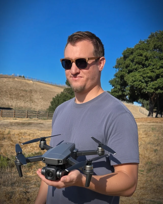
Your pilot
Landon Hoemke
FAA Part 107 Certified Remote Pilot
FAA Part 107 certified · Insured on every shoot
Stoop 360 flights in Fort Worth are commanded by Landon Hoemke, an FAA Part 107 certified remote pilot who specializes in true 360-degree aerial capture and cinematic film. He reviews the airspace, the launch site and the weather for each job, and he calls off a flight when conditions aren't right.
Every flight insured. Each shoot is covered by liability insurance, with a certificate of insurance available on request.
Meet the pilotFort Worth drone FAQ
Do I need permission to fly a drone at my Fort Worth property?
A commercial pilot needs FAA authorization wherever your address falls inside controlled airspace. In Fort Worth that includes the areas around Meacham, Alliance, Spinks and NAS Fort Worth JRB, and the east side under DFW's Class B. Stoop 360 checks your address and requests authorization, usually through LAANC, before the shoot.
Can you photograph ranch and acreage listings outside Fort Worth?
Yes. Stoop 360 flies across the Fort Worth area, including acreage west and north of the city. Large properties benefit from a mix of high overviews, low passes along fence lines and water, and a 360 panorama.
Are there drone restrictions on race days at Texas Motor Speedway?
Major events there can bring temporary flight restrictions, and the speedway sits right next to Fort Worth Alliance's controlled airspace. If your shoot is nearby on an event day, we check restrictions early and may suggest another date.
Can you fly in the Stockyards or downtown Fort Worth?
Often, with planning. Meacham's controlled airspace covers much of the area north of downtown, so we request authorization, choose a safe launch point and keep the drone clear of crowds. Some venues and events have their own drone rules, which we confirm in advance.
Are you insured?
Every flight insured. Each shoot is covered by liability insurance, with a certificate of insurance available on request.
Photos on this page show the Stoop 360 aerial style and are not of specific Fort Worth locations.
Guides for Fort Worth clients
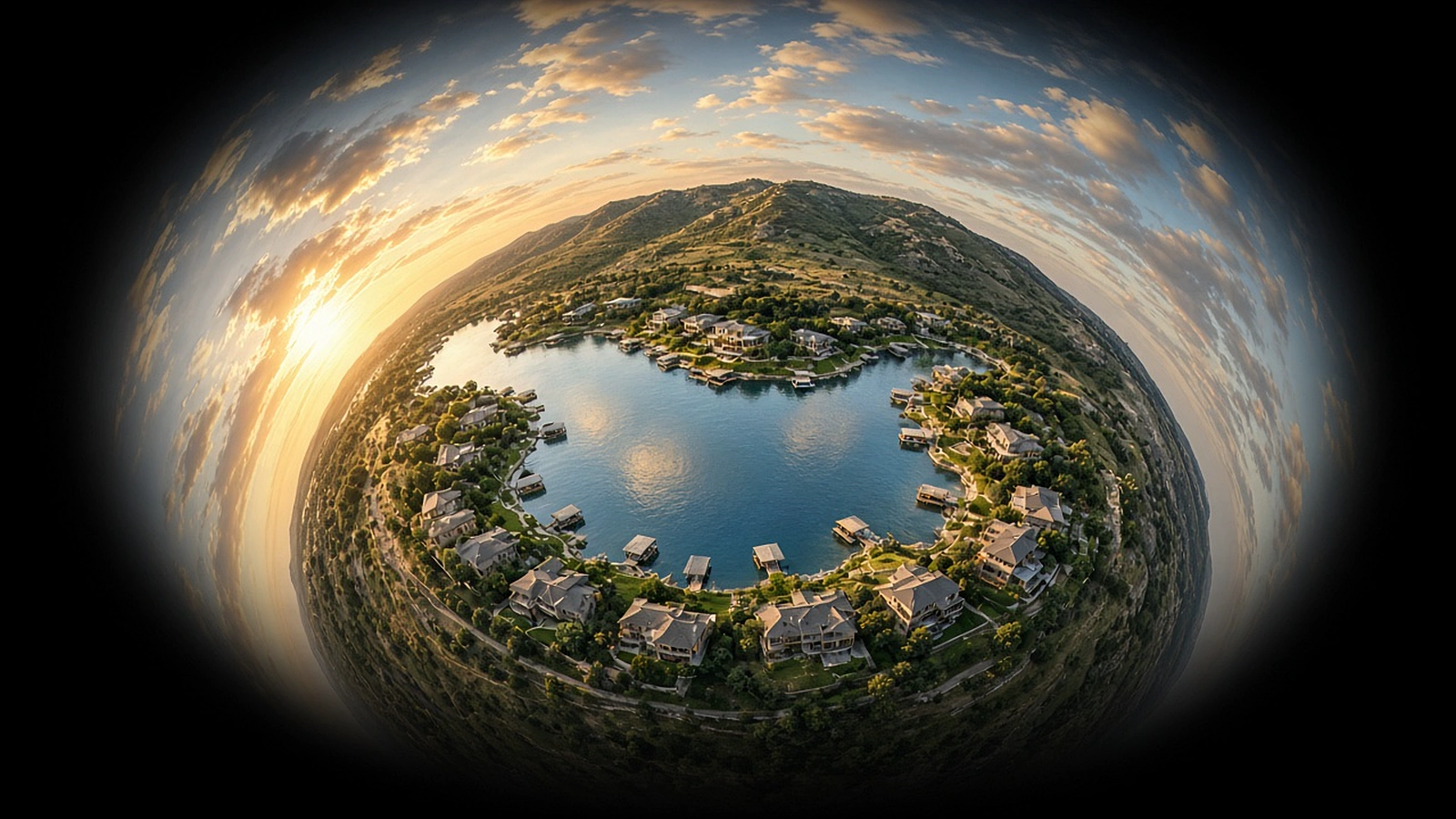
What a 360 Drone Tour Shows That Ordinary Photos Can't
One position in the sky, every direction at once. A plain-English look at immersive aerial panoramas and where they make a real difference.
Read article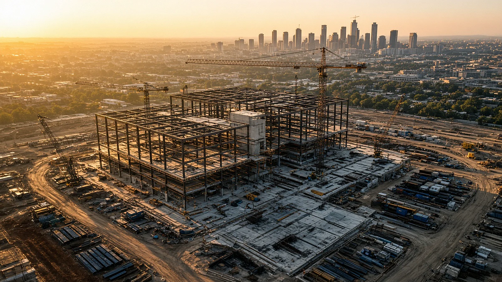
Tracking a Build From the Sky: Drone Construction Progress Photography
Same positions, same angles, every visit. How repeatable aerial documentation keeps owners, lenders and teams on the same page as a project rises.
Read article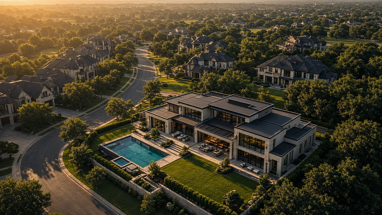
Drone Real Estate Photography in DFW and Austin: How Aerial Images Help a Listing Stand Out
Lot lines, views, the pool, the drive to the lake. Here is how aerial photos tell the part of a listing that ground photos can't.
Read article