
Drone services · Austin
Aerial photography in Round Rock and Georgetown.
Drone photography, aerial video and 360 capture across Williamson County, from historic downtowns to new neighborhoods and Hill Country acreage, flown by FAA Part 107 certified remote pilot Landon Hoemke.
North of Austin, Round Rock and Georgetown pair fast growth with deep roots: the historic courthouse square in Georgetown, the San Gabriel River and Lake Georgetown, Old Settlers Park and the Brushy Creek trails in Round Rock, and new neighborhoods spreading toward Leander, Liberty Hill and Hutto. Stoop 360 flies across Williamson County, planning each shot to show how a place fits into that mix of old and new.
Round Rock and Georgetown from above
New homes and growing communities. Williamson County keeps adding neighborhoods, from family subdivisions to active-adult communities like Sun City in Georgetown, and buyers want to see the amenity center, the trail network and the drive to schools and shopping. Aerials show it at a glance. For larger developments, repeat flights document the build from the same points.
Hill Country edges and acreage. West of Georgetown and Leander, the land rolls into the Hill Country. Acreage and estate lots there benefit from high overviews that show boundaries, trees and terrain, paired with a 360 drone tour for buyers relocating from out of state.
Historic downtowns. Georgetown's courthouse square and downtown Round Rock are favorite settings for local businesses, community events and celebrations. A slow aerial pass shows the architecture and the life around it.
Weddings and celebrations. Venues across the area range from restored historic spaces to Hill Country ranch settings. A planned aerial sequence opens a wedding film with the landscape and the gathering, without getting in the way of either.
Drone services in Round Rock & Georgetown
-
Real Estate
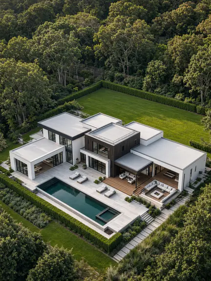
Aerial photos and video for Round Rock and Georgetown listings, from new-build neighborhoods to Hill Country acreage west of I-35.
See the service: Real EstateRead the guide: Real Estate Drone Photography and Video
-
Weddings
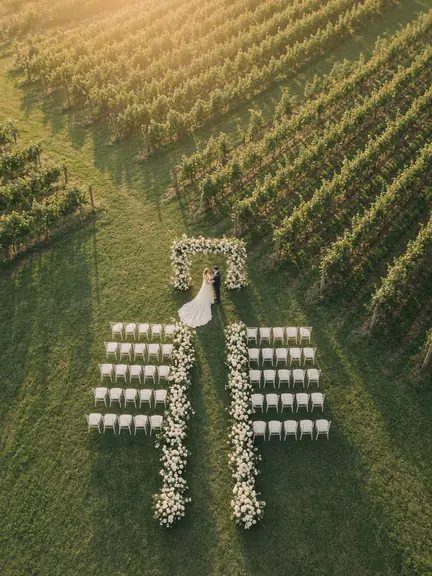
Aerial coverage for weddings at historic downtown venues and Hill Country settings across Williamson County.
See the service: WeddingsRead the guide: Wedding Drone Videography
-
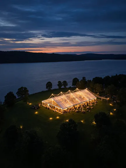
Events
Community celebrations, company events and private parties filmed from above, with the flight planned around guests.
See the service: EventsRead the guide: Event Drone Videography
-
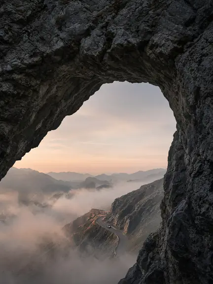
Custom Aerial
Construction progress for new developments, brand films for local businesses and landscape work along the San Gabriel River.
See the service: Custom AerialRead the guide: Custom Aerial Commissions
-

360 Shots
360-degree panoramas that let out-of-state buyers look around a neighborhood, a lake or a stretch of acreage before they visit.
See the service: 360 ShotsRead the guide: 360 Drone Photography and Tours
Airspace around Round Rock and Georgetown
Round Rock sits well north of Austin-Bergstrom's Class C airspace, and much of the area has no controlled airspace at drone altitudes. Georgetown is different: Georgetown Executive Airport has its own control tower, so neighborhoods around the airport sit in controlled airspace. Flights there need FAA authorization, which we usually request through LAANC for the exact address and altitude.
Outside controlled airspace, Part 107 still applies. We keep the drone within visual line of sight, stay within altitude limits and don't fly over people who aren't part of the shoot. Busy days at Dell Diamond, Old Settlers Park or the Georgetown square bring crowds that shape where and when we fly, so we plan around the local calendar too.
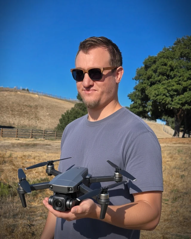
Your pilot
Landon Hoemke
FAA Part 107 Certified Remote Pilot
FAA Part 107 certified · Insured on every shoot
Landon Hoemke, an FAA Part 107 certified remote pilot, commands every Stoop 360 flight in Round Rock and Georgetown. He reviews airspace, launch sites and weather for each job and builds the flight around the shots you actually need.
Every flight insured. Each shoot is covered by liability insurance, with a certificate of insurance available on request.
Meet the pilotRound Rock & Georgetown drone FAQ
Do you need FAA authorization to fly in Georgetown?
Near Georgetown Executive Airport, yes. The airport has a control tower and nearby addresses sit in controlled airspace, so we request authorization, usually through LAANC. Many other parts of Georgetown and Round Rock are outside controlled airspace, and we confirm each address on the FAA's maps.
Do you cover Leander, Cedar Park, Hutto and Liberty Hill?
Yes. Stoop 360 flies across Williamson County and the wider Austin area. Tell us the address and we'll check airspace and travel before the shoot.
Is drone footage useful for new construction in Williamson County?
Yes. Builders and developers use repeat flights to show progress from the same points, and polished aerials to market finished phases. Our construction progress guide explains how a repeatable schedule works.
Can you film at Georgetown's courthouse square?
Often, with planning. The square is close to Georgetown Executive Airport, so we check whether authorization is needed and request it through LAANC. We pick a safe, permitted launch point and keep the drone clear of people who aren't part of the shoot.
Are you insured?
Every flight insured. Each shoot is covered by liability insurance, with a certificate of insurance available on request.
Photos on this page show the Stoop 360 aerial style and are not of specific Round Rock & Georgetown locations.
Guides for Round Rock & Georgetown clients

Tracking a Build From the Sky: Drone Construction Progress Photography
Same positions, same angles, every visit. How repeatable aerial documentation keeps owners, lenders and teams on the same page as a project rises.
Read article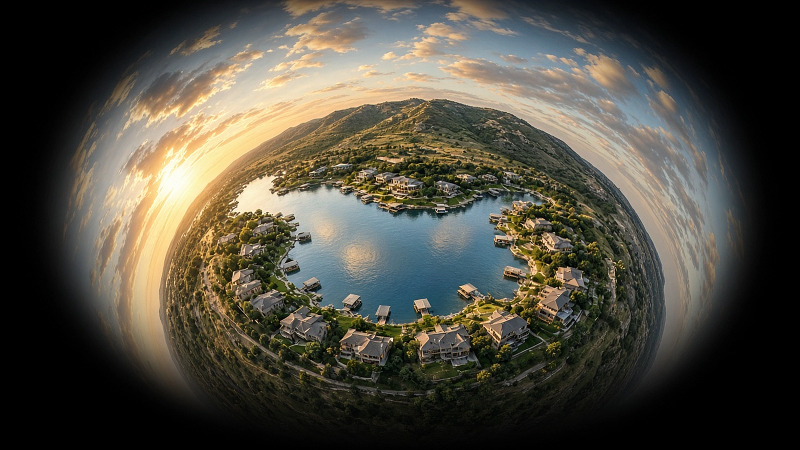
What a 360 Drone Tour Shows That Ordinary Photos Can't
One position in the sky, every direction at once. A plain-English look at immersive aerial panoramas and where they make a real difference.
Read article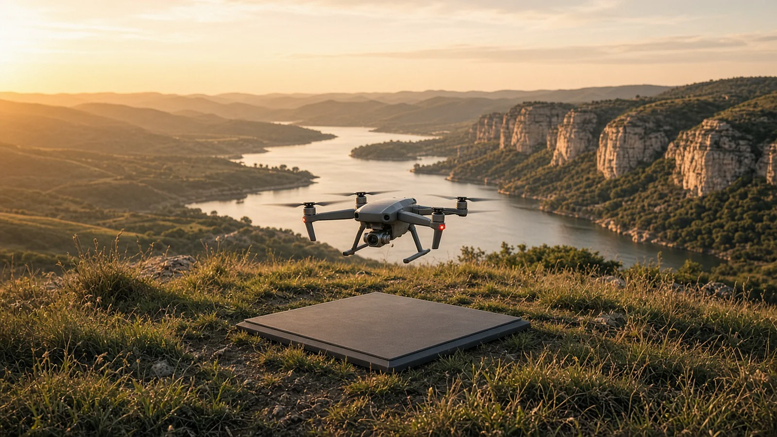
How to Hire a Drone Pilot in Dallas-Fort Worth or Austin: 10 Questions to Ask
Certification, airspace, insurance, portfolio and plan B. Ten questions that separate a professional drone pilot from someone who just owns a drone.
Read article